

Geospatial technology enables us to acquire data that is referenced to the earth and use it for analysis, modeling, simulations, and visualization. Geospatial technology allows us to make informed decisions based on the importance and priority of resources most of which are limited in nature. Geospatial technology may be used to create intelligent maps and models that may be interactively queried to get the desired results in a STEM application or may be used to advocate social investigations and policy-based research. It may be used to reveal spatial patterns that are embedded in large volumes of data that may not be accessed collectively or mapped otherwise.
AERIAL SURVEY using DRONES / AIRCRAFT & LIDAR

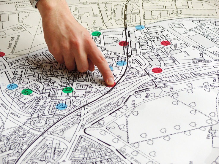
GIS based land use mapping
Master Plan / Development Plan / Zonal plans
Cadastral survey & Resurvey

Digitization of records